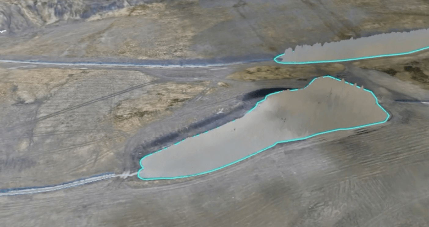
Standing water is a drone surveyor’s worst enemy and in South Wales, we see plenty of it. But what makes puddles, ponds, and rivers such a problem?
The trouble starts with the ripples. Even slight movements on the water’s surface throw off the photogrammetry engine the tool we use to stitch 2D images into accurate 3D models. The software mistakes the ripples for variations in height, creating wild, inaccurate spikes in the elevation data. If we don’t remove those errors, the final model ends up seriously flawed.
Water isn’t solid, and that’s where the problems start. When we take drone photos for photogrammetry, we rely on capturing the same fixed features from multiple angles. That’s how the software builds a 3D model by triangulating points in space from consistent, overlapping images.
With water, the surface is constantly shifting. Even the slightest breeze can create ripples, and these ripples change shape between shots. The software tries to interpret them as real topographical features which leads to false elevations, strange spikes, and distorted terrain in the final model.
Cleaning up the mess water leaves behind takes time, but it’s not rocket science. Want to see how we tackle it? Check out our video and discover a few of the tricks we use to fight back against nature’s interference.