','

' ); } ?> Skip to main content

LiDAR Survey

We provide high-precision LiDAR surveying services for topographical and boundary surveys, tailored to both planning and construction phases.


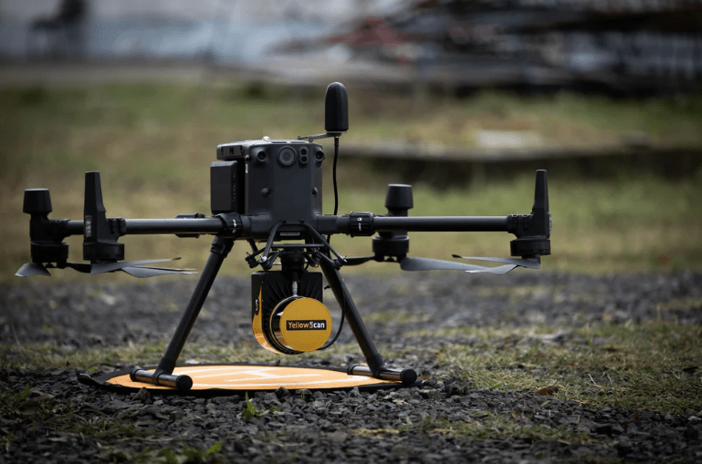
Using state-of-the-art RTK drone technology combined with on-site GPS control, we ensure that every survey is conducted to a high degree of accuracy and precision.


We deliver all survey results in a format that suits your needs, including CAD files and BIM-compliant models.

Why LiDAR

Unlike conventional aerial survey methods, LiDAR allows considerable penetration of crops, vegetation and trees. It also picks up high levels of detail for features such a power lines.

Accuracy

With continuous RTK and inertial correction, LiDAR datasets typically provide accuracy of around 50mm (xy) and 100mm (z). All our surveys are optimised and verified by separate ground observations. Where available, we tie in with existing site control.

Speed

LiDAR surveys are quick to acquire, with a typical capture rate of 240,000 points/sec and low overlap requirements. We routinely survey areas of around 50 ha per day. Surveys can also be captured in low light conditions.


1
1

How LiDAR works

LiDAR is an active laser scanning technology. It’s ‘active’ because, unlike a conventional camera sensor, it emits light as pulses and then measures their reflection back to the sensor.

One key benefit is the ability of LiDAR to measure the reflections of pulses which have been split by their interaction with obstructions such as branches. The resulting multiple reflections of a single pulse are described as ‘returns’, and enable ground elevations.


A full survey service

Ultimately it's the data that you need, in a shape that works for you. We can provide LiDAR surveys in a range of formats, from simple point cloud data through to AutoCAD drawings and BIM-compliant models.