So, can LiDAR actually see through things?
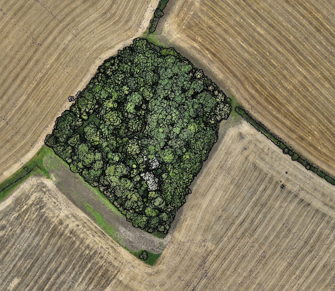
At the heart of the LiDAR revolution is its ability to shoot laser pulses that can pierce through vegetation. This means it can grab ground levels with a high level of accuracy, even under a thick canopy.
Photogrammetry, on the other hand, relies on good old stills images. And if you can’t see it, you can’t measure it. This is why photogrammetry surveys are really only viable in bare-earth environments.
So, LiDAR is basically x-rays from the air?
No. And here there are definitely some misconceptions. LiDAR relies on the reflection of laser pulses, and the wavelengths used by LiDAR sensors are not so far off those used by the human eye. However, LiDAR has two key advantages:
Splitting of the Pulse
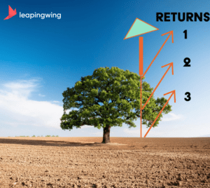
A LiDAR’s laser pulse has a defined diameter, perhaps as much as 10cm. This means that some of it may hit an object, and some of it may miss. The two (or more) resulting pulses will return at different times, and we can differentiate between them in the sensor.
This is the essence of a ‘multiple return’ LiDAR sensor. Our system is capable of detecting up to 5 returns. Often, the first will be the top of a bush or shrub, and the 4th or 5th will be the ground beneath.

Reaching into the shadows
In conventional photogrammetry, the camera may see the same gaps in foliage that we are exploiting in LiDAR. However, it won’t be able to get data BECAUSE IT’S SO DARK.
But LiDAR doesn’t need sunlight as it is producing its own light pulses. As a result, it can get data from those murky depths which photogrammetry simply ignores.

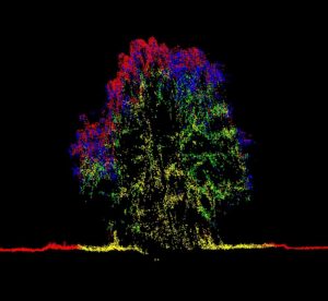
Case study: multiple returns from tree in full leaf with final returns delineating true surface elevations

