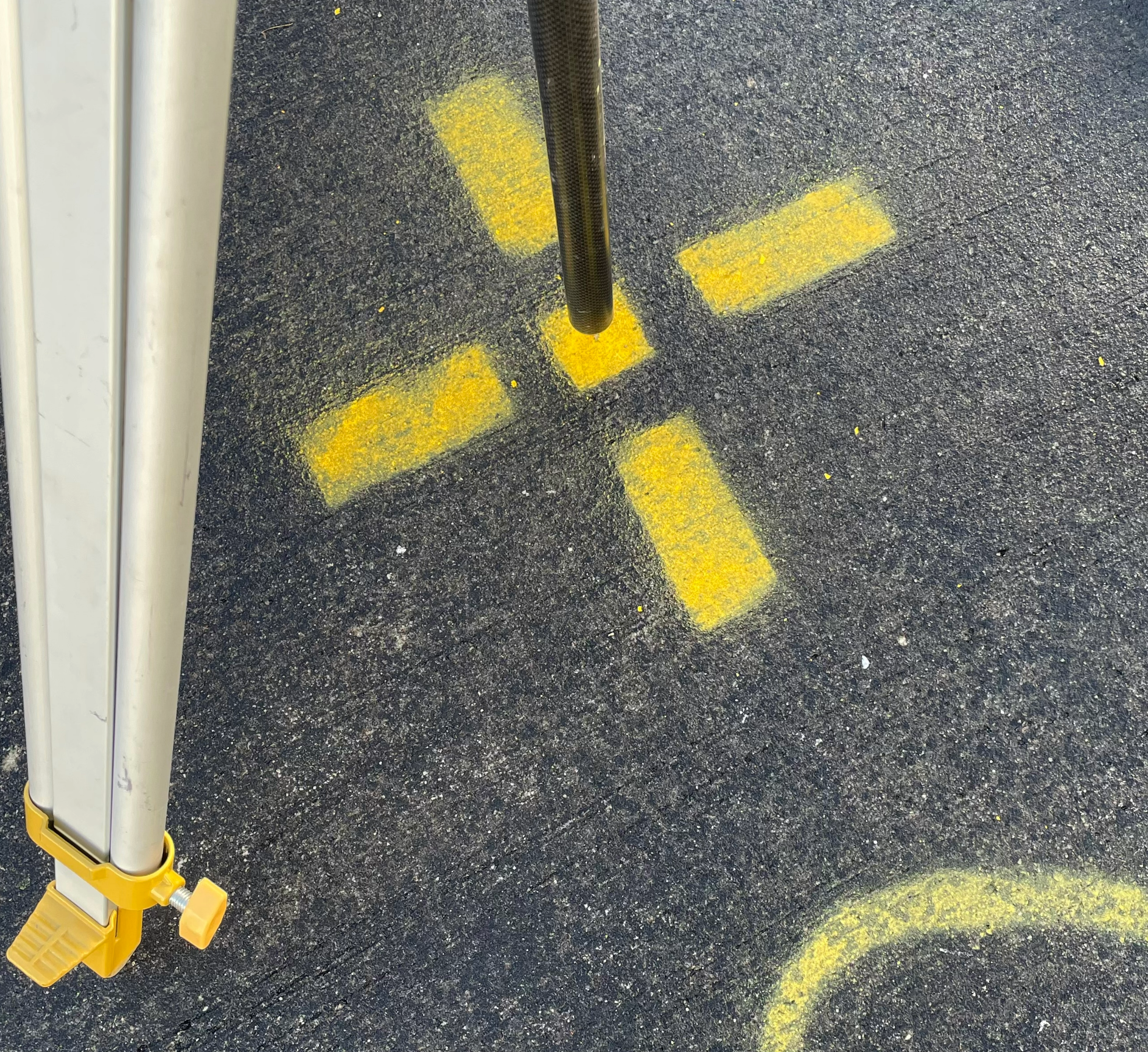
Have you ever noticed a strange cross or target in the middle of nowhere? This may well be evidence of what we aerial surveyors call ‘Ground Control’.
What is Ground Control?
Most of our aerial surveys are to help with large-scale construction projects. Often they are a form of mapping, locating key features on the site for engineers. Equally, we might fly them to measure ground levels from month to month, or the changing volumes of stockpiles. For all of these, it’s vital that we know where everything is positioned in the real world, rather than in some abstract digital model. This is where Ground Control comes in. Ground Control Points (GCPs) are visible markers on the ground for which we know real-world positions. Every company has its preferred way of marking and measuring them; ours are typically yellow crosses measuring roughly 80cm square.
Laying out GCPs using the EMLID Reach RS2+
Why use them?
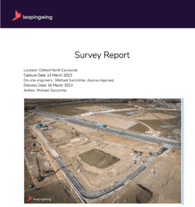
Without GCPs, a survey is prone to two issues. Firstly, creeping errors can arise. Without any intervention at all, drone surveys can naturally exhibit errors of around 1%. That doesn’t sound much, but with a survey run of, say, 3km, that equates to errors of 30m. Now position a drainage system 30m away from its intended position and your project has a big problem.
Even with more accurate survey methods (such as RTK – coming later in this series) GCPs are vital for error checking. Typically we use around 10 GCPs on a survey (although it depends very considerably on the survey area and purpose). Half will be used to increase accuracy, but the other half will be reserved as checkpoints. Once the survey has been processed, we can use those checkpoints to validate the survey and also measure its accuracy. In short, if those checkpoints appear exactly where we expect them to in our data, then we can be confident in our results.
‘Residuals’
Ultimately, GCPs remind us that nothing in the world of survey is exact. Our imagery will never be perfectly crisp, and the mathematical process of aligning them in our model will be inexact. Our survey is as accurate as we can possibly achieve, but we will be left with differences between where we think objects are, and where they actually are. The difference is termed a ‘residual’. By summing these residuals we can get an idea of confidence in our results.
If you are commissioning an aerial survey, you should expect to see reporting of this residual data from your surveyor (we always produce a full report in line with RICS guidance for aerial surveying).
So, next time you see a strange yellow cross on your travels, you’ll know why we put it there!

If you have any questions or would like to sign up to our newsletter, you can get in touch with us here.


